This is the VOA Special English Environment Report.
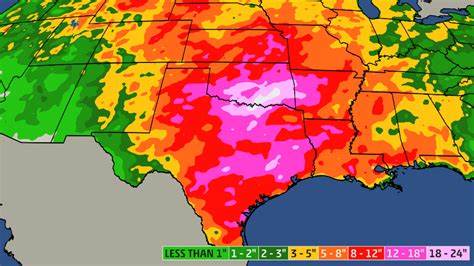
American scientists are developing maps that can identify areas of future flooding. The maps also may help scientists estimate the possibility of extremely dry weather and severe storms.
One such map could have warned of recent flooding along the Mississippi River. The map showed a small area of very wet soil in the northern United States on March twenty-ninth. On April twelfth, parts of the Mississippi River flooded. The scientists say that anyone who knows the area’s land and water systems would have been able to recognize the possibility of flooding.
Tom Jackson of the United States Department of Agriculture prepared the map after the April flood. He used information provided by satellites in Earth orbit.
The Agricultural Research Service reports that news broadcasts ten years from now may include weather reports based on such maps. Those maps will come from instruments on two weather satellites planned by American and European officials. The satellites are to be launched in Two-Thousand-Eight.
A similar instrument also will be connected to Aqua, a satellite soon to be launched by the American space agency. Aqua is similar in design to a land observation satellite already in Earth orbit.
The maps are produced from dish receivers on the satellites. Each dish receiver measures the wetness of the soil by capturing the natural release of microwave radiation from the soil. The receivers turn rapidly. This provides complete coverage of each area the satellite passes over.
Mister Jackson has worked with the American space agency and the National Oceanic and Atmospheric Administration.
He and other scientists have tested Aqua’s equipment in airplanes and satellites flying over several states. The scientists used the tests to develop ways to change the information gathered into maps.
Mister Jackson now plans to compare the microwave dish receiver findings with information from tests on Earth’s soil. He will use instruments at Agricultural Research Service centers in four states. He also will study information provided by forty ground observation centers across the country.
This VOA Special English Environment Report was written by George Grow.
