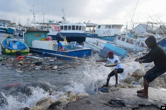
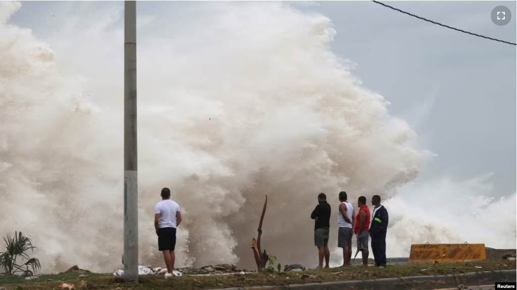
Weather experts say the storm Hurricane Beryl might represent the beginning of a very active and dangerous hurricane season.
“It’s the earliest Category 5 hurricane on record in the Atlantic, Caribbean and Central American basin,” a World Meteorological Organization (WMO) spokesperson said of Beryl.
A Category 5 hurricane brings winds of 252 kilometers an hour or higher. Such storms can cause huge damage, including destruction of homes, roads, and bridges.
The WMO spokesperson noted that destructive power, saying “it only takes one land-falling hurricane to set back decades of development.”
Unusual conditions
Beryl is on an unusually southern path, especially for a major hurricane, said Kristen Corbosiero of the University at Albany.
Colorado State University hurricane researcher Phil Klotzbach said Beryl is possibly a sign of “more interesting stuff” that could happen in the near future.
He added that there could be “several of these kinds of storms coming down later.”
The water temperature around Beryl is about 1 to 2 degrees Celsius above normal, at 29 Celsius, which “is great if you are a hurricane,” Klotzbach said.
Warm water acts as fuel for the thunderstorms and clouds that form hurricanes. The warmer the water and the air at the bottom of the storm, the better the chance it will rise higher in the atmosphere and create larger thunderstorms, said Corbosiero.
It is not just hot water at the surface that matters. The ocean heat content, which measures deeper water, is far above record levels for this time of year. The levels are currently at what the highest September levels should be, University of Miami researcher Brian McNoldy said.
This year, there is also a big difference between water temperature and upper air temperature throughout the tropics.
The greater that difference is, the more likely it becomes that storms will form and get bigger, said MIT hurricane expert Kerry Emanuel. “The Atlantic relative to the rest of the tropics is as warm as I’ve seen,” he said.
Atlantic waters have been unusually hot since March 2023 and record warm since April 2023. Klotzbach said a high-pressure system that normally sets up cooling trade winds collapsed then and has not returned.

Climate change
Corbosiero said scientists are debating what exactly climate change does to hurricanes. But she said scientists have come to an agreement that climate change makes hurricanes more likely to become strong quickly, as Beryl did, and increases the strongest storms.
Emanuel said the slowing of Atlantic ocean currents, likely caused by climate change, may also be a factor in the warm water.
La Nina, which is a slight cooling of the Pacific that changes weather worldwide, also may be a factor. Experts say La Nina tends to reduce high altitude winds that weaken hurricanes.
La Nina also usually means more hurricanes in the Atlantic and fewer in the Pacific. The Eastern Pacific had zero storms in May and June, something that has only happened twice before, Klotzbach said.
Globally, this may be a below average year for tropical cyclones, except in the Atlantic.
I’m John Russell.
John Russell adapted this story from Associated Press and Reuters reports.
___________________________________________
Words in This Story
hurricane – n. a large, powerful storm that occurs especially in the western part of the Atlantic Ocean
decade – n. a period of ten years
tropics – n. plural the part of the world that is near the equator
factor – n. something that helps produce or influence a result
altitude – n. the height of something above the level of the sea
